Spatio-temporal modelling of malaria risk in Kano and Lagos States using local health system data
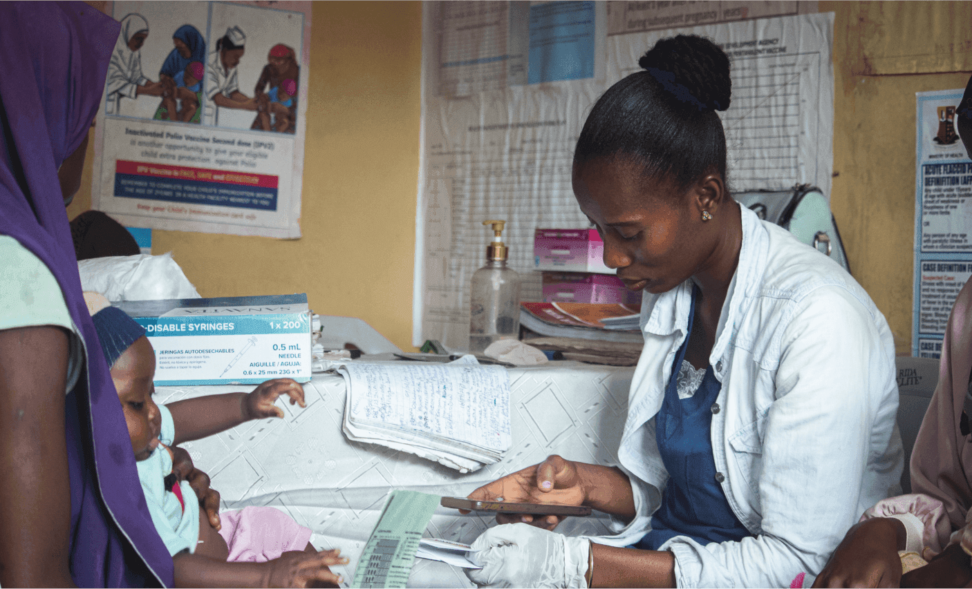
Nigeria contributes nearly 27% of the global malaria burden, with over 68 million cases and 194,000 deaths reported in 2021. Despite large-scale interventions, malaria remains heterogenous in space and time, complicating control efforts. Household surveys such as the NMIS provide robust prevalence estimates but are conducted only every five years, limiting their utility for timely programme action. In contrast, routine health facility data from the DHIS2 offer high-frequency, geographically disaggregated case and testing data, but require careful adjustment for reporting quality and denominators. Spatio-temporal modelling provides a way to harness these routine data to generate stable, decision-relevant risk estimates for sub-national stratification.
We applied a Bayesian hierarchical spatio-temporal Poisson model to DHIS2 under five malaria case data from 2014 to 2023 in Kano and Lagos States, using the number of children tested as an offset. Spatial structure was modelled via a BYM2 prior, temporal drift with a random walk, and space-time interaction as Gaussian exchangeable noise. Model adequacy was assessed with DIC, WAIC, and mean log-CPO. GRID3 facility geocoordinates were used to derive an “underserved” proxy (≥ 30% of LGA land area > 5 km from a facility) to explore associations between access and risk.

Subscribe To Our Newsletters
Stay Updated with the Latest News and Events - Directly in Your Inbox!